
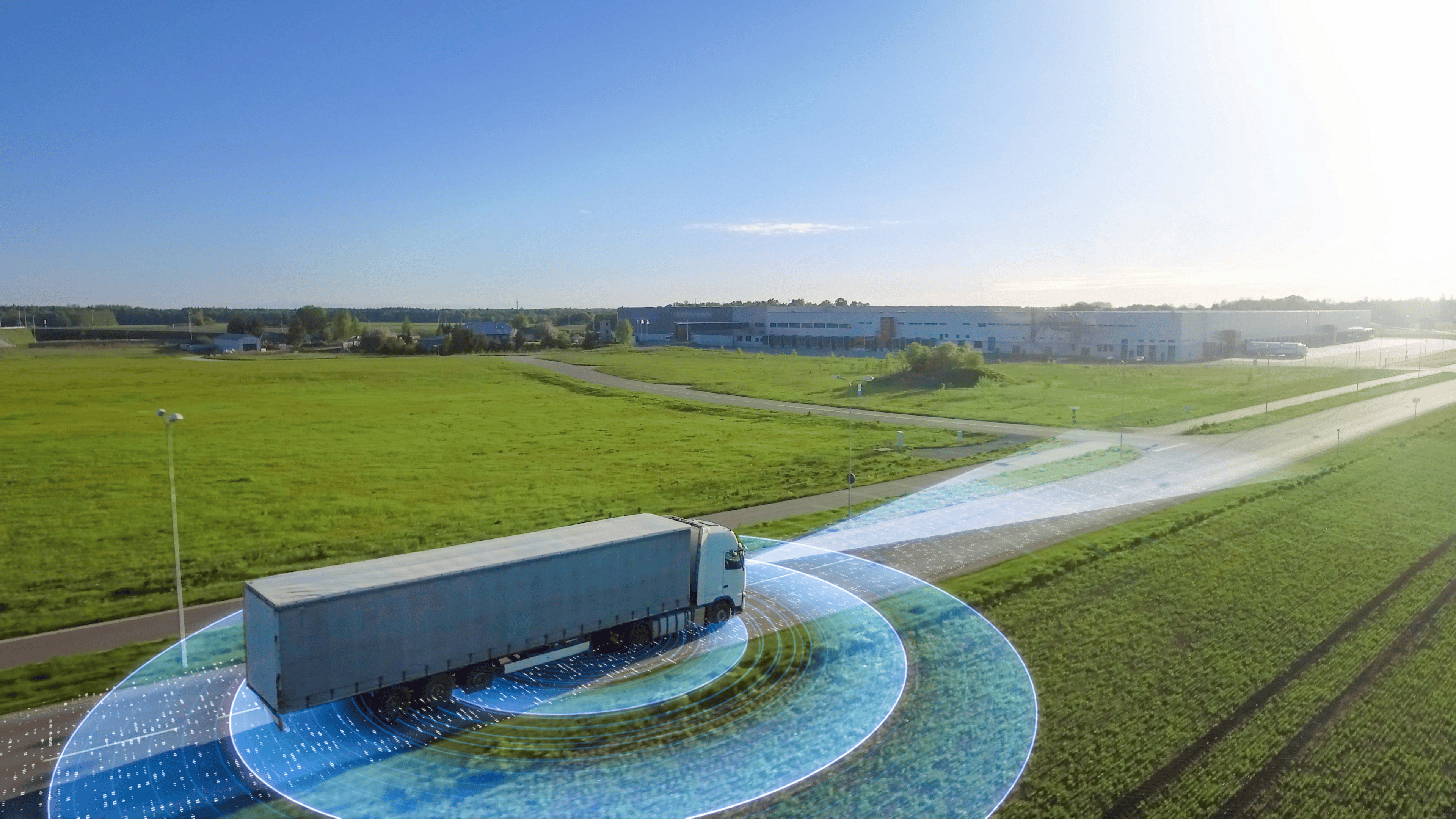
GPS fleet tracking is a system that helps trucking companies see where their vehicles, drivers, and fleet assets are in real time. It uses GPS location data, connected hardware, cellular networks, and fleet tracking software to show vehicle movement on a live dashboard.
For trucking fleets, GPS tracking is not just about a dot on a map. The real value comes from knowing where trucks are, where they have been, how routes are moving, how much time drivers have available, and what needs attention across the operation.
A good GPS fleet tracking system helps dispatchers, safety teams, fleet managers, and back-office staff make better decisions with less guesswork. When location data connects with ELD, IFTA, vehicle activity, route history, and diagnostics, it becomes a practical tool for daily fleet management.
What Does GPS Fleet Tracking Mean?
GPS fleet tracking means using location technology to monitor commercial vehicles and fleet activity from a central system. The system can show live vehicle locations, routes, movement, stops, speed, and other data depending on the tools connected to it.
In trucking, this helps the office understand what is happening on the road without calling drivers for every update. Dispatchers can see where trucks are, managers can review route history, and operations teams can make faster decisions when delays or changes happen.
GPS fleet tracking is different from basic navigation. A driver may use navigation to find a route, but a fleet tracking system gives the business visibility into the truck, driver, route, timing, and activity behind the trip.
GPS Tracking Vs Fleet Tracking
GPS tracking is the location technology itself. It answers the simple question: where is the truck right now?
Fleet tracking uses that location data as part of a larger management system. It helps answer bigger questions, such as where the driver has been, whether the route is on schedule, how much time is left in the shift, and whether the vehicle needs attention.
That difference matters for trucking companies. Location alone is useful, but location connected with HOS, IFTA, diagnostics, documents, and fleet visibility is much more valuable.
Why GPS Fleet Tracking Matters In Trucking
Trucking fleets run on timing, visibility, and good decisions. Dispatchers need to know which driver is closest to a load. Customers may need updates. Managers may need to understand why a truck was delayed.
Without GPS fleet tracking, many of those answers depend on phone calls, manual notes, driver check-ins, and guesswork. That slows down the office and pulls drivers away from the road.
A connected system gives the fleet a clearer view of daily operations. It helps teams respond faster, review past routes, track delivery progress, and understand what happened during a trip.
How Does GPS Fleet Tracking Work?
GPS fleet tracking usually starts with connected hardware inside the truck. That hardware may be a dedicated GPS device, an ELD, a dashcam, or another connected system that collects location and vehicle data.
The device receives location signals from GPS satellites. It then sends that information through a cellular network to a cloud-based system where the data can be viewed in a dashboard or app.
From there, fleet managers can see truck locations, route history, vehicle activity, alerts, and other useful details depending on the platform.
The Truck Sends Location Data
A GPS fleet tracking system collects location data while the vehicle is moving or parked. Depending on the system, it may also collect speed, direction, ignition status, driver activity, and vehicle events.
For trucking fleets, the best setup should fit how the truck already operates. If the tracking tool connects with an ELD, dashcam, or diagnostic port, it can give the office more useful information than a simple standalone tracker.
The Data Moves To A Cloud Dashboard
Once the system collects data, it sends that information to the cloud. Fleet managers and office teams can then view the data from a computer, tablet, or phone.
This makes it easier to manage trucks that are spread across different routes, states, customer sites, and delivery windows. The office does not have to wait for a truck to return to understand where it has been.
The Office Uses The Data To Make Decisions
A dashboard turns GPS data into something useful. Dispatchers can check live locations, managers can review historic routes, and safety teams can look at events tied to specific trips.
Blue Ink Tech’s Fleet Visibility tools are built around this idea. They help fleets see vehicle and driver locations, delivery progress, traffic, historic routes, vehicle feeds, and activity tied to documents, receipts, and fault codes.
-X900.jpg?width=900&height=1244&name=BIT%2c-Dashcam-(1)-X900.jpg)
What Data Can A GPS Fleet Tracking System Show?
Not every GPS tracking system shows the same information. Some tools only show location, while stronger fleet systems connect location with driver, vehicle, compliance, and operational data.
For trucking companies, the most useful systems show what is happening now and what happened before. That means live location is important, but route history, vehicle feeds, driver availability, and compliance context matter too.
Real-Time Vehicle Location
Real-time GPS tracking helps fleet managers see where vehicles and drivers are during the day. This supports dispatching, customer updates, emergency response, and route decisions.
If a customer asks where a truck is, the office can check the dashboard instead of calling the driver. If a load changes, dispatch can see which truck is closest and whether that driver is in a good position to respond.
Historic Routes
Historic routes help fleet managers look back at where a truck traveled, where it stopped, and where delays happened. This can be useful for detention questions, customer disputes, driver coaching, and operational reviews.
A route history record gives the office a clearer timeline. Instead of piecing together events later, managers can review the route and understand what happened at a specific moment.
Driver Availability
Location becomes more useful when it is connected with driver availability. A truck may be close to a load, but that does not mean the driver has enough hours left to take it.
Fleet teams that understand how ELDs record driver logs can make better use of location data because they can connect the truck’s position with HOS status and Available Hours.
Vehicle Activity And Fault Codes
A strong GPS fleet tracking system may also show vehicle activity, fault code logs, documents, receipts, and other events tied to a truck profile.
This helps the office understand more than where the vehicle is. It helps managers know what happened, what was submitted, and whether the truck may need attention.
Key Benefits Of GPS Fleet Tracking For Trucking Fleets
GPS fleet tracking gives trucking companies better visibility into the moving parts of the operation. That visibility can help reduce manual check-ins, improve dispatch decisions, support safer driving, and give the office better records.
The biggest benefit is not just tracking. It is the ability to act on location data when something changes during the day.
Better Dispatch Decisions
Dispatchers can make stronger decisions when they know where trucks are, where drivers are headed, and what conditions may affect the route.
Instead of calling multiple drivers to find availability, the office can start with live location and route visibility. When that data connects with Available Hours, dispatchers can make better load planning decisions.
More Accurate Delivery Updates
Customers, shippers, and receivers often want updates when a truck is delayed or close to arrival. GPS fleet tracking helps the office provide better status updates without interrupting the driver.
This can reduce back-and-forth calls and give the office more confidence when communicating delivery progress.
Better Route History For Accountability
Route history helps fleets understand what happened during a trip. If a truck was delayed, the office can review the route, stops, traffic, and timing.
This helps with customer questions and internal reviews. It can also support conversations about dwell time, detention, route planning, or recurring delays at specific locations.
Stronger Safety Visibility
GPS fleet tracking can support safety programs when it connects with driver behavior, speed, harsh events, dashcam footage, or unsafe driving alerts.
Location alone may show where the truck was. Location connected with video and telematics can help explain what happened and why it matters.
For fleets building stronger safety programs, fleet risk management becomes easier when location, routes, driver activity, and video evidence are part of the same operating picture.
GPS Fleet Tracking And ELD: How They Work Together
An ELD records Hours of Service data, while GPS fleet tracking shows where the truck and driver are. When the two work together, the office gets better visibility into both location and driver availability.
This matters because dispatch decisions are not only about distance. A driver may be nearby but running low on hours. Another driver may be farther away but better positioned for the next load.
A connected system helps fleet managers see both sides of the decision. They can consider location, route, available drive time, and delivery needs before assigning work.
Location Helps With HOS Planning
HOS planning is easier when the office knows where the driver is and how much time is available. This helps reduce last-minute surprises and supports better load planning.
A system that combines location with Available Hours gives dispatchers more context. They can plan around the driver’s real situation instead of relying only on check-ins.
Route History Adds Context To Logs
Route history can help explain timing, stops, and activity around a trip. If there is a question about when a truck crossed a state line, arrived at a receiver, or stopped along the way, route records can provide helpful context.
This does not replace the ELD log, but it can support the office when reviewing trips, delays, and driver activity.
GPS Fleet Tracking And IFTA: Why Location Data Matters
IFTA reporting depends on mileage by state or jurisdiction. For fleets that still track those miles manually, quarterly reporting can become a time-consuming task.
GPS and ELD data can help reduce that burden by creating a clearer record of where vehicles traveled. When fuel receipts are also submitted through the same workflow, the office has better information before filing.
An ELD system that supports state-by-state IFTA mileage and fuel receipt reporting can help trucking companies reduce manual work and prepare cleaner quarterly records.
State-By-State Mileage
State mileage is one of the most important parts of IFTA reporting. GPS fleet tracking can support this when it works with ELD and IFTA tools that capture route and mileage data.
This helps the office avoid chasing drivers for missing details or rebuilding routes from memory after the quarter ends.
Fuel Receipts And Route Records
Mileage data becomes more useful when it is paired with fuel receipts. Drivers can submit receipts from the road, and the office can connect fuel purchases with vehicle activity and reporting periods.
Blue Ink Tech’s IFTA tools help capture in-state miles and fuel receipt information, while making it clear that the system does not calculate state tax rates.
GPS Fleet Tracking, Geofencing, And Route History
Geofencing is a common GPS fleet tracking feature that creates a virtual boundary around a location. A fleet can set a boundary around a terminal, customer site, yard, pickup location, delivery point, or restricted area.
When a truck enters or leaves that area, the system can create a record or alert depending on the setup. This helps the office understand arrivals, departures, unauthorized movement, and time spent at key locations.
For trucking fleets, using geofences to improve fleet management can support better location records and reduce uncertainty around site activity.
How Geofencing Helps Fleets
Geofencing can help identify when a truck reaches a customer site, leaves a yard, or spends too much time at a location.
This can support arrival records, detention discussions, customer updates, and internal reviews. It can also help managers spot unusual movement or repeated delays.
Why Historic Routes Matter
Historic routes show where a vehicle has been and how the trip unfolded. This gives the office a useful record when questions come up later.
When route history connects with vehicle feeds, documents, receipts, and driver activity, managers can see a clearer picture of the full trip.
What Features Should Trucking Fleets Look For?
A generic GPS tracker may show vehicle location, but trucking fleets often need more than that. The best system should support the way the fleet actually works.
Useful GPS fleet tracking features for trucking may include:
- Real-time vehicle and driver location
- Historic route maps
- Traffic visibility
- Driver availability and Available Hours data
- ELD connection
- IFTA mileage support
- Dashcam or safety event connection
- Fault code logs
- Document and receipt activity
- Geofencing
- Back-office dashboard and reports
Choose A System That Fits Trucking Workflows
Trucking fleets should choose a system that connects location with compliance, operations, and vehicle activity.
If the system only shows a map, it may not help with HOS planning, IFTA mileage, DVIRs, diagnostics, route history, or driver availability. Those are the areas where GPS tracking becomes more useful for trucking companies.
Avoid A Location-Only System If You Need Compliance Data
A location-only system may work for a simple tracking need, but trucking fleets often need more context.
If your team needs ELD, IFTA, dashcam video, Air Scale data, fault codes, or document activity, it makes sense to choose a platform that can connect those pieces.
What Blue Ink Tech Fleet Visibility Adds
Blue Ink Tech Fleet Visibility is built for trucking companies that need more than basic GPS tracking. It helps users see where vehicles and drivers are, where they have been, and what activity is tied to each truck.
The system helps fleets view delivery progress, traffic, Available Hours with location, historic routes, vehicle feeds, active fault code logs, documents, and receipts.
That makes location data more useful. The office can connect where the truck is with what the driver is doing, what happened on the route, and what vehicle information needs attention.
Location Plus Available Hours
Location is more valuable when dispatch can also see driver availability. A nearby truck is not always the right truck if the driver is running low on time.
Blue Ink Tech helps fleets use Available Hours data and location together, giving dispatchers better context for load planning and route decisions.
Route History Plus Vehicle Events
Route history is helpful on its own, but it becomes stronger when connected with vehicle activity. Managers can review where a truck was, what happened at a specific moment, and whether documents, receipts, or fault codes were added.
This helps reduce guesswork and gives the office a clearer operational record.
One Platform For Practical Fleet Visibility
Blue Ink Tech connects fleet visibility with BIT ELD, BIT IFTA, BIT Air Scale, BIT Dashcam, and vehicle activity tools.
For fleets that want less switching between systems, this connected setup helps bring location, logs, weights, video, IFTA, and diagnostics into a more practical workflow.
Common GPS Fleet Tracking Mistakes To Avoid
One common mistake is only looking at the map. A live map is useful, but the real value comes from route history, alerts, driver availability, reports, and connected fleet tools.
Another mistake is ignoring driver workflow. If the system creates confusion or extra steps for drivers, adoption may suffer.
Fleets should also avoid choosing a GPS tracking system without considering trucking compliance needs. HOS, IFTA, DVIRs, diagnostics, and route records can all matter in day-to-day operations.
Back-office training is important too. Dispatchers, managers, and safety teams need to know how to use the data, not just how to open the dashboard.
Final Thoughts: GPS Fleet Tracking Is About Visibility And Action
GPS fleet tracking helps trucking companies see where trucks are, where they have been, and what is happening across the fleet.
For trucking operations, the best system should go beyond basic location. It should connect GPS data with driver availability, route history, compliance workflows, vehicle activity, IFTA, diagnostics, and safety visibility.
Blue Ink Tech helps fleets turn location data into practical fleet visibility. If your operation needs GPS tracking tied to ELD, IFTA, route history, fault codes, Air Scale data, dashcam video, and back-office tools, Blue Ink Tech can help you see where your fleet is and what needs attention next.
FAQs
What Is GPS Fleet Tracking?
GPS fleet tracking is a system that uses GPS location data, connected hardware, cellular networks, and fleet tracking software to show where vehicles, drivers, or assets are and how they are being used.
How Does GPS Fleet Tracking Work?
A device or connected system in the vehicle collects GPS location data and sends it to a cloud dashboard through cellular connectivity. Fleet managers can then view live locations, routes, alerts, and vehicle activity.
What Is The Difference Between GPS Tracking And Fleet Tracking?
GPS tracking refers to the location technology. Fleet tracking is the broader system that uses location data to support dispatch, route history, compliance, safety, maintenance, and fleet operations.
How Does GPS Fleet Tracking Help Trucking Companies?
GPS fleet tracking helps trucking companies see vehicle locations, monitor delivery progress, review route history, support dispatch decisions, track driver availability, and reduce manual check-ins.
Can GPS Fleet Tracking Help With HOS?
Yes. When GPS tracking is connected with ELD and Available Hours data, dispatchers can see where drivers are and how much time they have available for the next load.
Can GPS Fleet Tracking Help With IFTA?
Yes. When connected with an ELD or IFTA tool, GPS location and route data can help track state-by-state miles and support quarterly fuel tax reporting.
What Is Geofencing In GPS Fleet Tracking?
Geofencing creates a virtual boundary around a location. Fleets can use it to know when a truck enters or leaves a terminal, customer site, yard, or delivery location.
What Should Trucking Fleets Look For In GPS Fleet Tracking Software?
Trucking fleets should look for real-time location, route history, Available Hours data, ELD connection, IFTA support, geofencing, fault code logs, document activity, reports, and practical support.